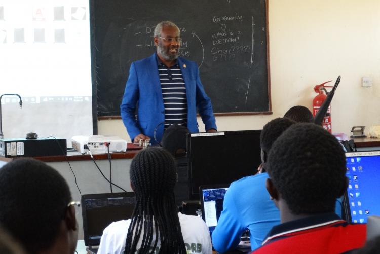
Every year, The Department of Geospatial and Space Technology conducts the Geospatial Camp for fourth-year students who are about to go for their attachment. The Camp is designed to expose students to the rapidly growing technologies in the field of Geospatial Engineering. This year, the Geospatial Camp was held at the University of Nairobi- Kibwezi Dryfield station.
On Sunday, June 18th, 2023, Prof. Stephen Kiama; Vice Chancellor of the University of Nairobi, paid a courtesy call to Geospatial Engineering students at the Kibwezi University of Nairobi dry field station. Prof. Kiama was excited to see the excellent progress of the camp and to hear about the student's achievements. He urged the students to work hard to generate a topographic map of the university land, which would help with better planning and decision-making.
A number of activities are typically conducted during the Geospatial camp, including:
- Route location survey
- Planimetric mapping
- Bridge deformation survey
- Topographic mapping
- Land use and land cover mapping
The Department of Geospatial and Space Technology is adopting new mapping technologies to train students in the use of drones and GNSS applications in surveying. Drones allow surveyors to capture more topographic data points and make more accurate volume measurements, while GNSS applications facilitate faster and more accurate data processing.
The Geospatial Engineering camp is an important part of the students' education. It gives them the opportunity to apply their skills in a real-world setting and to learn about the latest technologies in the field. The camp also helps to build teamwork and communication skills, which are essential for success in the workplace.
- Log in to post comments

