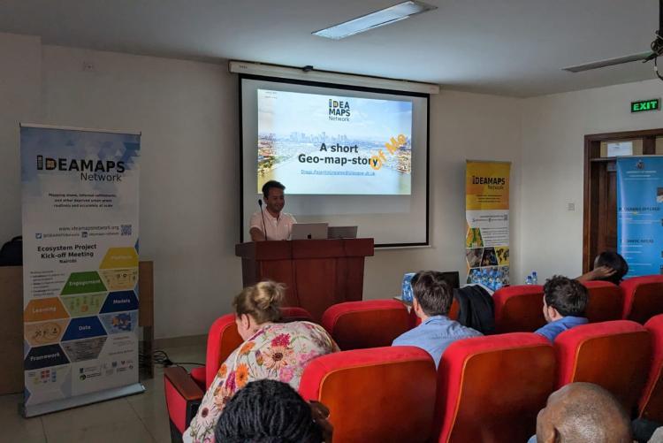
The Department of Geospatial and Space Technology on Wednesday 7th June 2023 welcomed a delegation from the Integrated Deprived Area Mapping System (IDEAMAPS) Network for an enlightening public lecture on the topic of "Mapping slums, informal settlements, and other deprived urban areas routinely and accurately at scale." Led by Prof. Faith Karanja, the chairman of the host department, the event featured presentations from scholars in the field.
The invited speakers included Prof. Joao Porto de Albuquerque, Dr. Diego Grajales, and Andre Clarke from the University of Glasgow; Dr. Monika Kuffer, Prof. R. Vagas Maretto, and Dr. Dana Thomson from the University of Twente; Prof. Peter Elias from the University of Lagos, and Dr. Caroline Kabaria from the African Population and Health Research Center.
The presentations highlighted the pressing issue of urbanization, emphasizing that approximately ninety percent of the world's population growth over the next three decades will occur in African and Asian cities. A significant proportion of these populations will reside in deprived neighborhoods characterized by slum conditions, informal settlements, or inadequate housing.
The scholars discussed the shortcomings of existing approaches to mapping neighborhood deprivation. These approaches, categorized as household-level classification, field-based mapping, human interpretation of imagery, and machine classification, each have limitations that hinder the production of accurate and comparable maps reflecting local contexts.
To address these challenges, the scholars proposed a comprehensive framework for routine and accurate mapping of deprived urban areas. They stressed the importance of incorporating social area-level covariates and up-to-date, context-relevant field-based classification into machine learning models. By doing so, stakeholders at local, national, and international levels can utilize these maps for advocacy, planning, and decision-making across Low- and Middle-Income Countries (LMICs).
The development of such a framework would overcome the siloed nature of current approaches and provide a holistic understanding of deprived urban areas. It would enable the identification of key social characteristics, including lack of tenure, exposure to pollution, and inadequate access to public services.
By focusing on the collaboration between academia, technology, and local-to-international stakeholders, the scholars aspire to generate accurate and comprehensive maps that facilitate effective interventions and policy formulation in deprived urban areas. This multi-dimensional approach aims to address the complex challenges associated with rapid urbanization and foster sustainable development in LMICs.
In conclusion, the public lecture hosted by the Department of Geospatial and Space Technology underscored the need for innovative solutions in mapping deprived urban areas. Through collaborative efforts and the integration of advanced technologies, accurate and contextually relevant maps can be created to inform decision-makers and drive positive change in the lives of those residing in marginalized urban communities.
- Log in to post comments

